Annual monitoring of the 2017 “low-flow crossing”

Summary
San Francisquito Creek and its tributary creeks are habitat for the threatened, local form of migratory steelhead trout, Central California Coast steelhead. Prior to 2017, fish passage in the uppermost portion of San Francisquito Creek within Jasper Ridge Biological Preserve was constrained by a concrete roadway that crossed the creek. That roadway blocked fish passage except when the creek overtopped the roadway and fish could pass over the roadway. In 2017, to improve steelhead passage, Stanford University replaced the roadway crossing. The replacement “low-flow crossing” consists of large box culverts topped by a roadbed with notched curbs. When creek flow is low, fish passage is through the culverts; when flow overtops the structure, fish passage is above the roadbed.
The low profile of the new crossing belies the scale of the structure. To withstand widely varying creek flow, transport of sediment and debris, and long-term changes in the watershed, the design of the 2017 structure includes a foundation at bedrock, as shown in the image below. The box culverts sit on the foundation and are partially filled by a restored creek bed, forming a durable structure that combines continuity of a natural creek bed and a large capacity for flow. When flow is very high, fish pass over the top. Large debris can over the top, too, with less likelihood of creating a logjam than if there were a conventional bridge instead of the low-flow crossing. The new structure was designed in partnership with regional and state agencies.
Except under high-flow conditions, the roadway above the culverts provides a creek crossing for emergency and operations vehicles. A camera at the site has recorded many animals using it, too.
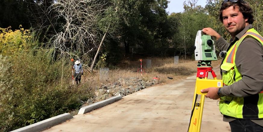
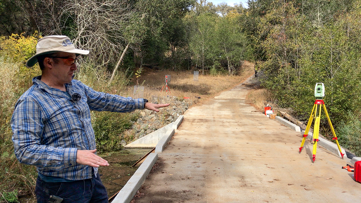
The restored site is monitored annually for changes in creek banks, vegetation, sedimentation, and scouring. In November 2022, Jonathan Owens and John Hardy of Balance Hydrologics, Inc, described some of that survey work. The following month, a series of atmospheric rivers hit California.
▶VIDEO #1: Survey of the low-flow crossing November 2022 by Jonathan Owens and John Hardy (04:31)
▶VIDEO #2: High flow at the crossing during an atmospheric river in January 2023 (00:20)
Project Location (Sector 12)
 |  |  |  |  |  |  |  |  |
 |  |  |  |  |  |  |  |  |
 |  |  |  |  |  |  |  |  |
 |  |  |  |  |  |  |  |  |
 |  |  |  |  |  |  |  |  |
 |  |  |  |  |  |  |  |  |
Visible from Trail/Road
C - Lower Fire Road


