
Bird Monitoring and Surveying Program

Summary
The Jasper Ridge bird monitoring program consists of two separate but complementary surveys whose goal is to create a body of data that can be used to detect trends in many aspects of avian ecology, both within specific habitats and for JRBP as a whole. A hallmark of the program is the longterm commitment by a number of expert birders who conceived the program and have provided consistency and a collective memory.
The transect survey was started in 1979 and consists of six defined routes that are monitored monthly. These surveys involve teams of several people, all of whom detect, identify, and count individuals along a series of trails. Some transects involve split routes over part of the loop and are best surveyed by teams of four people.
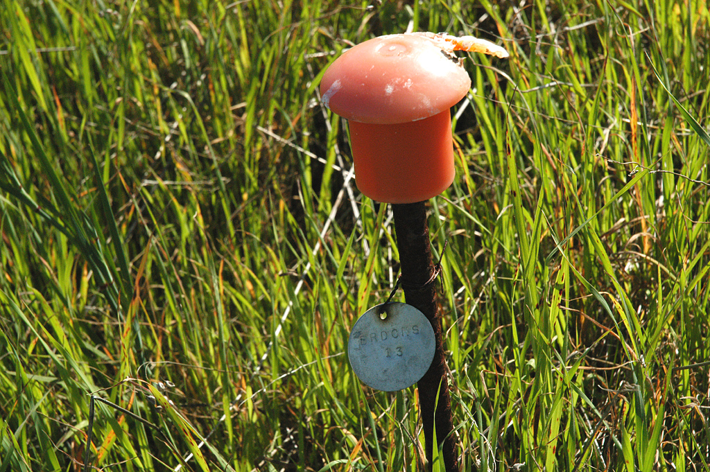
A point count survey was added in 1997 to provide data that can be more easily incorporated in regional studies. The 28 points in this survey represent areas of either uniform habitat or edges between habitats. The points were selected based on experience from the transect surveys, subject to a minimum 250m separation between points, along with other considerations. A set of 6-8 points is assigned to each birding team. Teams consist of one official observer, one recorder/time-keeper (who also consults when necessary), and sometimes a trainee. Point counts are conducted in the morning, from 0.5 to 4.5 hours after sunrise, under weather conditions that permit accurate bird detection. All birds seen or heard within 40m of the marked point during a 7-minute period are recorded. Birds flying overhead are included if they appear to be foraging.
Data from the program are relevant to questions about trends in diversity, population size, seasonal activity, migration patterns, and habitat associations of avian species. The database is available for browsing by individuals with a JRBP Affiliate password, but does not yet include data from the early years.
Photo above: Bewick's wren, Caroline Lambert
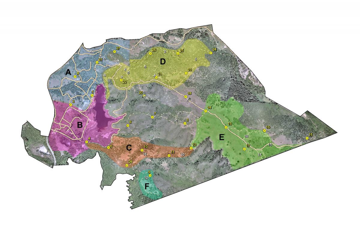
Project Location (Sectors 12, 13, 14, 15, 20, 21, 22, 23, 24, 25, 29, 30, 31, 32, 33, 34, 35, 40, 41, 43)
 |  |  |  |  |  |  |  |  |
 |  |  |  |  |  |  |  |  |
 |  |  |  |  |  |  |  |  |
 |  |  |  |  |  |  |  |  |
 |  |  |  |  |  |  |  |  |
 |  |  |  |  |  |  |  |  |