Sediment deposition in Searsville Reservoir and its upstream wetlands

Summary
Searsville Reservoir and its upstream wetlands are dynamic environments with respect to sediment transport and deposition. Even modest flood events cause overbank flows that transport a fraction of the inflowing sediment onto the wetland floodplain in an area that was previously open water, part of the main reservoir. Another fraction of the inflowing sediment is transported to the reservoir and deposited below its surface, further reducing the capacity of the reservoir.
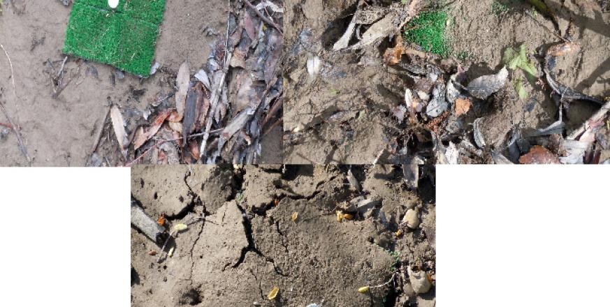
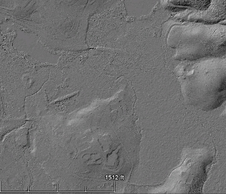
I am interested in quantifying the rates of sediment deposition both in the reservoir and in the wetland area upstream of the reservoir, as well as investigating the influence of vegetation and side channels on the spatial distribution of sediment deposition on the wetland during flood events. I use small sediment traps made of turf to quantify sedimentation from a given flood event at various locations in the wetland. Additionally, I use other data sources, including reservoir bathymetry, reservoir cores, LIDAR data and aerial photos.
My research aims to improve fundamental understanding of the morphology of heavily sediment-impacted reservoirs and their surrounding areas. Potential implications for management include better ability to predict when the reservoir will fill completely and improved understanding of locations both within and upstream of the reservoir where heavy sedimentation is likely to occur in the future.
Project Location (Sectors 30, 31, 40)
 |  |  |  |  |  |  |  |  |
 |  |  |  |  |  |  |  |  |
 |  |  |  |  |  |  |  |  |
 |  |  |  |  |  |  |  |  |
 |  |  |  |  |  |  |  |  |
 |  |  |  |  |  |  |  |  |
Visible from Trail/Road
12 - Mapache
13 - Causeway


