Surface- and ground-water interactions in the Searsville Reservoir sediments

Summary
Originally intended as a drinking water reservoir, Searsville Lake has always been too turbid for that purpose, thanks to the high input of sediment from the largest of the lake's five tributaries, Corte Madera Creek. The lake is very efficient at storing the sediment delivered by Corte Madera Creek and has filled with sediment to roughly 90 percent of its original capacity.
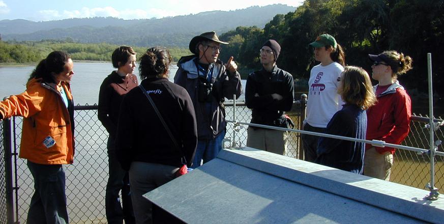
Professor David Freyberg and his students are studying many aspects of the sedimentation of Searsville Lake, especially the interactions between surface-water and ground-water. These interactions are important in understanding a host of issues including the transport of pollutants in ground-water, the spatial patterning of vegetation types, and the seasonality of overflow from the dam to San Francisquito Creek.
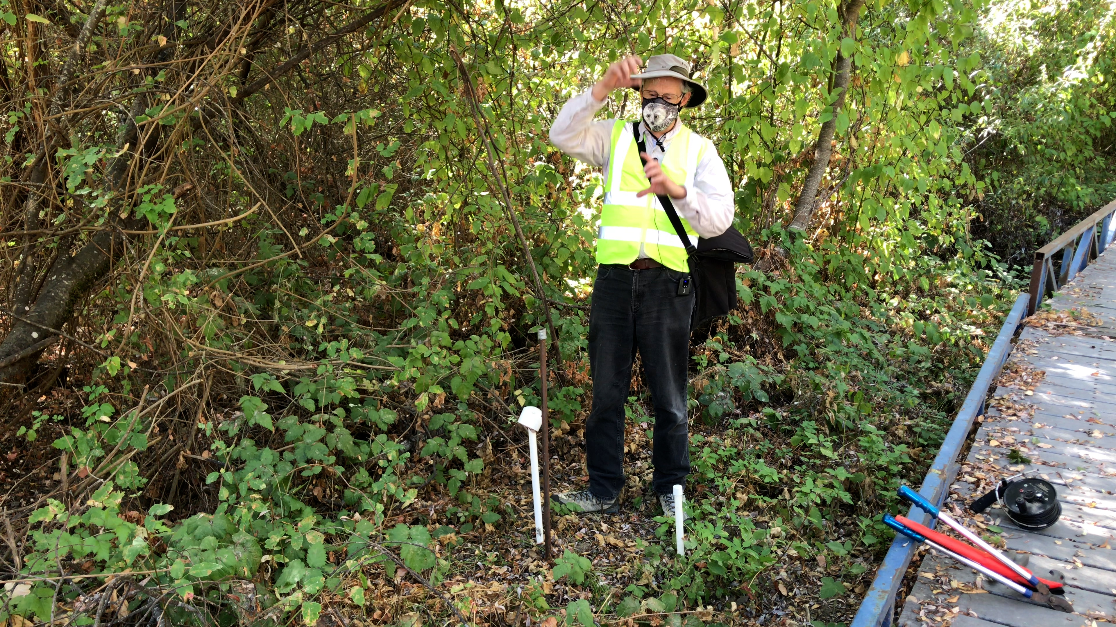
A key tool in professor Freyberg's studies is the piezometer--a cased well installed to a depth at or below the water table and open over only a very short section of its length. The water level within such a well, relative to a fixed point, is termed the hydraulic head and is a measure of the potential energy of ground-water at that site and depth due to its gravitational potential energy together with the potential energy resulting from the pressure of the surrounding fluid. Because water moves from higher to lower potential energy, one can determine where ground-water is moving to, and from, by comparing the hydraulic head in piezometers installed at different depths and/or locations. Professor Freyberg is doing this by monitoring piezometers he has installed in a dozen different areas. He is also studying how ground-water recharge varies between years with different precipitation patterns.
PhD students working with professor Freyberg on this project include May Chui, who is modeling the interactions between ground-water and surface-water, and Kate Brauman, who is studying decision-making about dams at the end of their "useful" lifespan.
▶VIDEO: David Freyberg explaining 3D water movement at Leonard’s bridge
Project Location (Sectors 30, 31, 39, 40)
 |  |  |  |  |  |  |  |  |
 |  |  |  |  |  |  |  |  |
 |  |  |  |  |  |  |  |  |
 |  |  |  |  |  |  |  |  |
 |  |  |  |  |  |  |  |  |
 |  |  |  |  |  |  |  |  |
Visible from Trail/Road
12 - Mapache
13 - Causeway


