Monitoring of flow and water quality

Summary
San Francisquito Creek begins in JRBP at the confluence of Bear Creek and the outflow from Searsville Lake. It flows more than 12 miles to the Bay and is unchannelized for nearly half its length. Because San Francisquito's watershed spans roughly 45 square miles in northwestern Santa Clara County and southeastern San Mateo County, including much of Stanford University, many agencies and organizations interact in managing the creek. One joint effort, called the Long-Term Monitoring and Assessment Plan (LTMAP), is gathering baseline data on water quality in San Francisquito with the goal of reducing pollutant levels and better protecting aquatic and riparian habitat and biota.
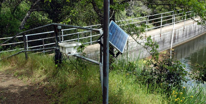
The LTMAP includes two monitoring stations in JRBP operated by Balance Hydrologics, Inc. A flow-monitoring station is located at Searsville Dam, and a station on Bear Creek (just southeast of Sand Hill Road) continuously monitors streamflow and specific conductance. Specific conductance is the ability of the solution to conduct electricity, normalized to a standard temperature (25ºC), and is an index of the aggregate amount of dissolved, charged particles. To help interpret this index, Bear Creek is also tested periodically for levels of nutrients, trace metals, mercury, and organophosphate pesticides. At Piers Lane, Balance operates two more LTMAP stations, one on San Francisquito Creek and one on Los Trancos Creek. Upstream of JRBP, Balance has monitored streamflow and sediment in Corte Madera Creek at Westridge Road for the past 10 years.
The LTMAP was originally created by a subcommittee of the San Francisquito Creek Coordinated Resources Management and Planning (CRMP) Steering Committee. The LTMAP is now managed by the San Francisquito Watershed Council, a non-governmental organization governed by a steering committee comprised of diverse stakeholders whose representatives meet on a voluntary basis to develop programs and positions through consensus.
Project Location (Sectors 12, 21)
 |  |  |  |  |  |  |  |  |
 |  |  |  |  |  |  |  |  |
 |  |  |  |  |  |  |  |  |
 |  |  |  |  |  |  |  |  |
 |  |  |  |  |  |  |  |  |
 |  |  |  |  |  |  |  |  |


