
Instrumentation and Field Equipment
 In order to better support research and educational activities at Jasper Ridge, the preserve provides access to advanced field equipment and research instrumentation to students, faculty and docents. Technical support and training are also available. Below are some of the types of technology available for use in the field.
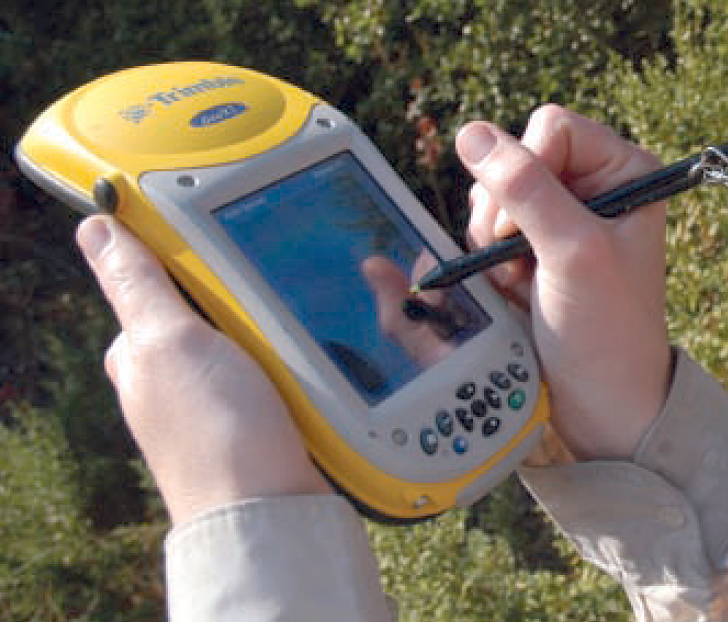
Trimble GeoXT High-resolution GPS
The GeoXT handheld allows for GPS mapping at submeter accuracy using Trimble Terraysync software and is available to all Jasper Ridge researchers, students and affiliates. In the computer lab, GPS data can be post-processed and exported to various formats using Pathfinder Office software. Reserving the unit in advance for extended fieldwork is recommended. Training is available for both the GeoXT and Pathfinder Office software.
Laser RangeFinder
The Contour XLR laser rangefinder allows for the accurate measurement of distances and angles. It is particularly useful for measuring the height of trees. Can be used in conjunction with the GeoXT GPS for high-accuracy GPS offset measurements.
Sensors
A small number of environmental sensors are available for use in the field, including soil moisture, and temperature/humidity. Self-contained sensors such as iButtons are used as well as wirelessly-networked solutions allowing remote access and long-term automated data collection. Many readily-available sensors can be adapted for wireless use in the field.
Camera traps and IP video cameras
Camera traps and IP video cameras are available for wildlife and phenological studies in the field. The camera traps are self-contained. Additional batteries, solar panels and wireless radios are available to remotely connect IP video cameras.
Contact the Academic Technology Specialist for more information about using these and other devices for your research project.