A watershed investigation: the impacts of pile burning from terrestrial to aquatic habitats

Summary
This research aims to measure how nutrient and metal concentrations vary as a function of distance from the burn piles, and across time after the burns took place in March 2024.
Other research showed that smoke and ash fallout can elevate concentrations of nutrients and metal contaminants, with 90% of ash fallout occurring after the first year. Whether ash accumulation occurred closer to the fire or if fine particles were blown further from the fire can be determined by particle size.
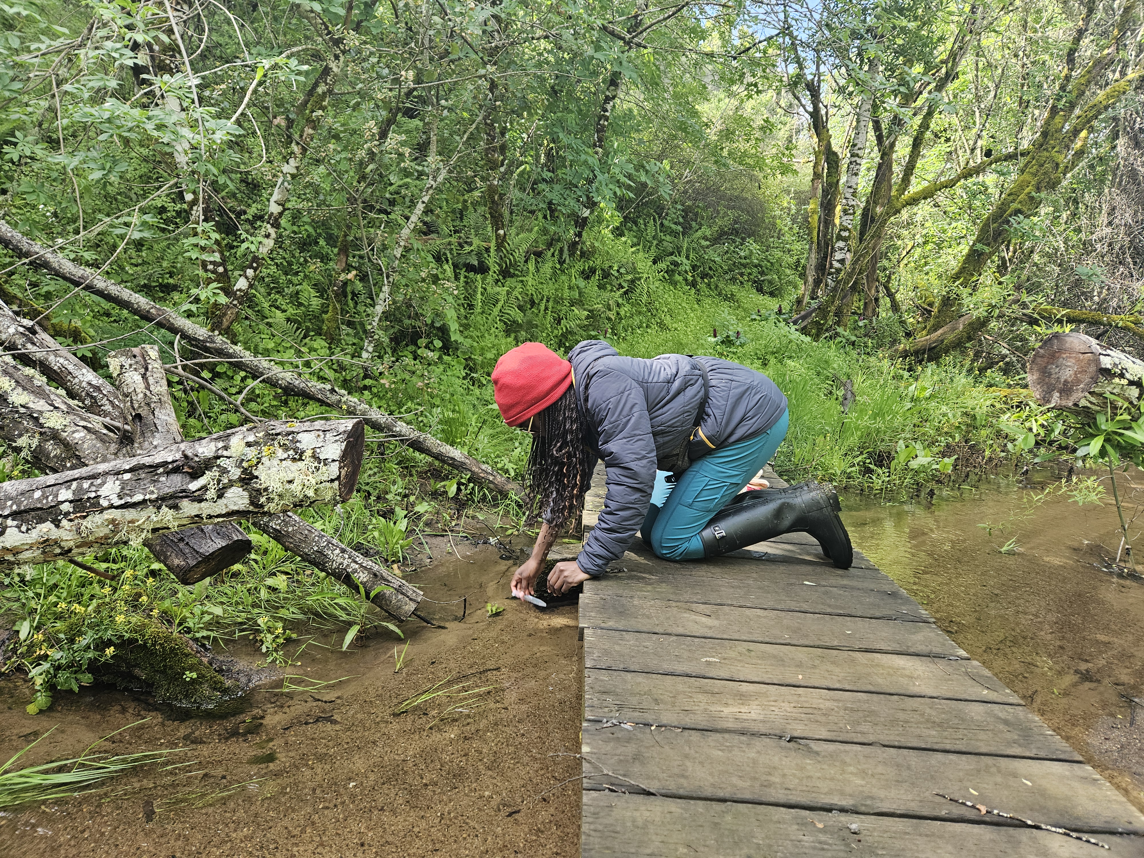
This project leverages prior research to examine how nutrient and metal levels derived from smoke and ash fallout may differ due to proximity to the burns. Both water and sediment are being sampled across three sites: directly downslope of the burn piles, downstream of the piles at the southern end of Searsville Lake, and at the dam on the northern end of Searsville Lake. Researchers sampled before and immediately after the burns, and are continuing to sample, to detect how concentrations vary across time. Environmental measurements including pH, conductivity, air and water temperature are also being collected to associate with metal and nutrient measurements.
Project Location (Sectors 21, 30, 41)
 |  |  |  |  |  |  |  |  |
 |  |  |  |  |  |  |  |  |
 |  |  |  |  |  |  |  |  |
 |  |  |  |  |  |  |  |  |
 |  |  |  |  |  |  |  |  |
 |  |  |  |  |  |  |  |  |
Visible from Trail/Road
12 - Mapache
13 - Causeway


