Bird Monitoring and Surveying

Jasper Ridge Bird Banding Station
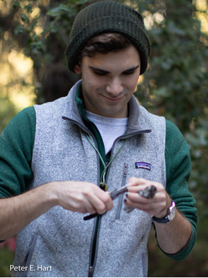
Banding involves the live capture, marking, and release of wild birds. An array of mist nets, each measuring 12 meters across and 3 meters high, are set up approximately 30 minutes before sunrise. These nets passively capture birds that fly into them. Nets are monitored by our research team and birds are removed upon capture for processing.
After the species has been identified we place a small aluminum band around the bird’s leg. Each band has a unique 9-digit number issued by the Bird Banding Laboratory of the USGS. Once the band is on the bird additional data is taken, such as the age and sex, along with standard body measurements. After processing the bird is safely released.
The banding program was started in May 2018 by Stanford student Julian Tattoni and is funded through undergraduate research grants.
Learn more about the bird banding station
Jasper Ridge Motus Wildlife Tracking System 
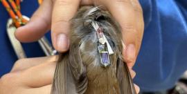
Motus is an international collaborative research network that leverages radio signaling to track and monitor migratory animals.
Summary
Current data
 Jasper Ridge Bird Checklist
Introduction
View the list
Additional resources
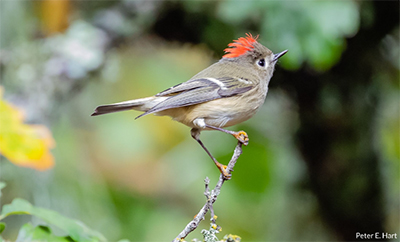
Birds of Jasper Ridge Photo Gallery
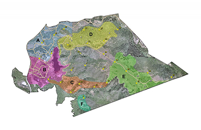
 Bird Census Transect and Point Count Map
Point Area Groups
Area 1 – Chaparral (Points 3, 7, 6, 9-12)
Area 2 – High Grasslands (Points 13-18)
Area 3 – Docent Center (Points 1, 2, 4, 5, 8, 21, 28)
Area 4 – Blue Oaks (Points 19, 20, 22-27)
(Click map for larger image)
Learn more about the survey protocols
Transect Count Form
Point Count Form
Jasper Ridge Bird Census Database
(Affiliate login required)
For help with the database, please contact: Trevor Hébert


