Seismic monitoring station, JRSC

Summary
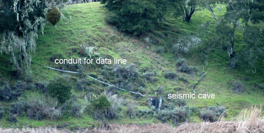
The Jasper Ridge seismic station (JRSC) was installed in 1994 by a team from Stanford (Robert Kovach, Geophysics), the USGS, and UC Berkeley. It is part of a network of seismic stations in northern and central California maintained and operated by the Berkeley Seismology Lab (BSL). The station consists of a highly sensitive seismometer that sits on a concrete pad inside a pre-existing cave on the west shore of Searsville Lake. The cave is overlain by 30 vertical feet of bedrock, and is sealed with a steel bulkhead door. Both of these features help make the station seismically quiet.
JRSC is both a BSL broadband and GPS site. Broadband stations have high dynamic range and are used for earthquake early warning. Broadband seismometers are often collocated with strong-motion accelerometers in installations at or near the earth's surface. BSL also operates a network of permanent, continuously telemetered high-resolution GPS stations. At many BSL sites, including JRSC, other geophysical sensors are monitored to improve our understanding of the earth.
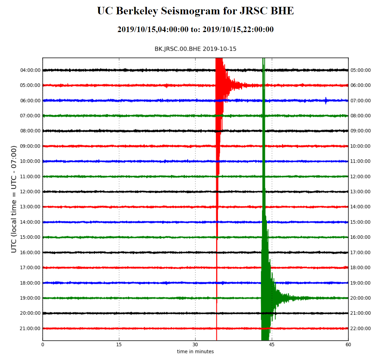
The seismometer records signals in a digital format over a broad frequency band ranging from 0.008Hz to 50Hz, with an overall dynamic range of 200dB. This means that nearby magnitude 6+ earthquakes will not saturate the system, yet much smaller magnitude earthquakes (ca. M=1) can also be detected.
Data from the station are continuously transmitted to UC Berkeley and the USGS via the Jasper Ridge wireless mesh network infrastructure. The Berkeley Seismology Lab provides a website where you can make your own seismogram for Jasper Ridge and other stations. Data are available at this website one hour after recording.
Project Location (Sector 30)
 |  |  |  |  |  |  |  |  |
 |  |  |  |  |  |  |  |  |
 |  |  |  |  |  |  |  |  |
 |  |  |  |  |  |  |  |  |
 |  |  |  |  |  |  |  |  |
 |  |  |  |  |  |  |  |  |
Visible from Trail/Road
14 - Lakeside
E - Chaparral Fire Road


